https://tangrams.github.io/heightmapper/
It allows export so that you can engrave.
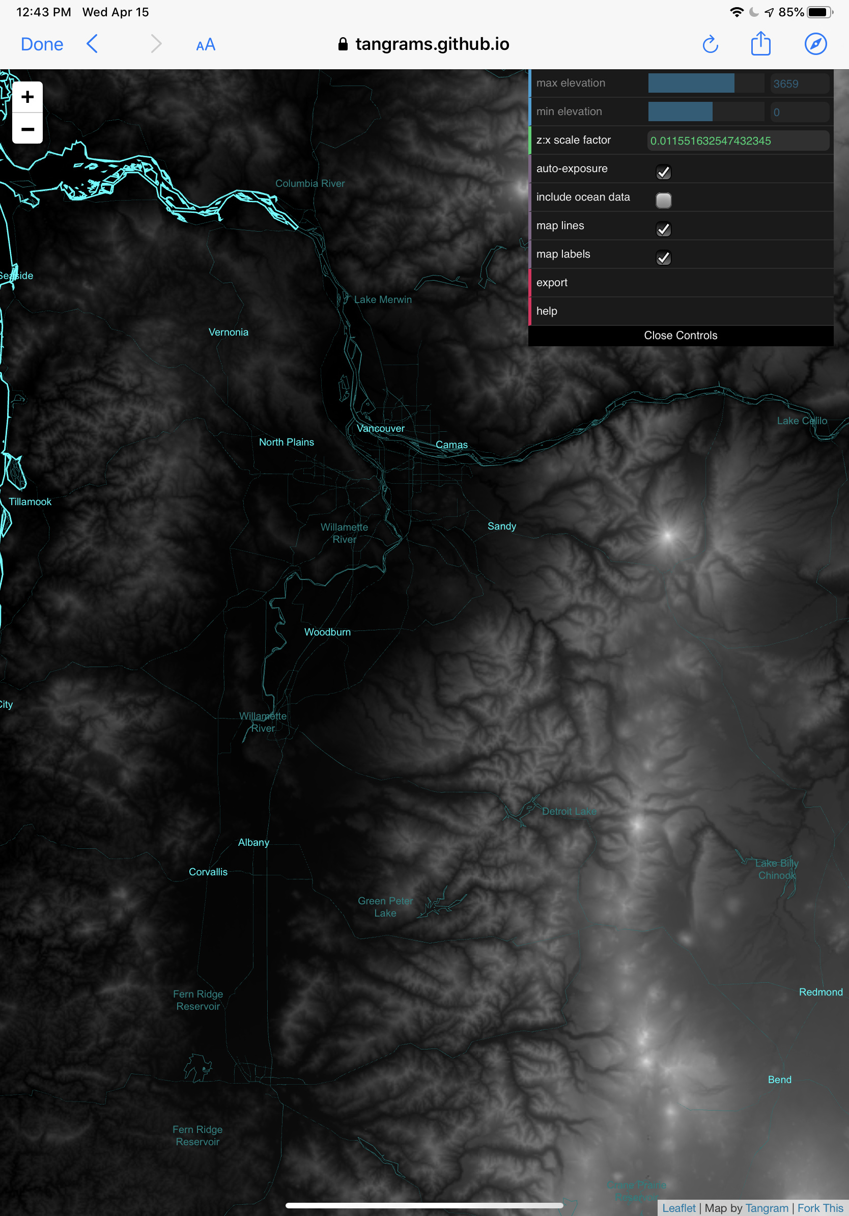
Here is an example of the map in the area I live in.
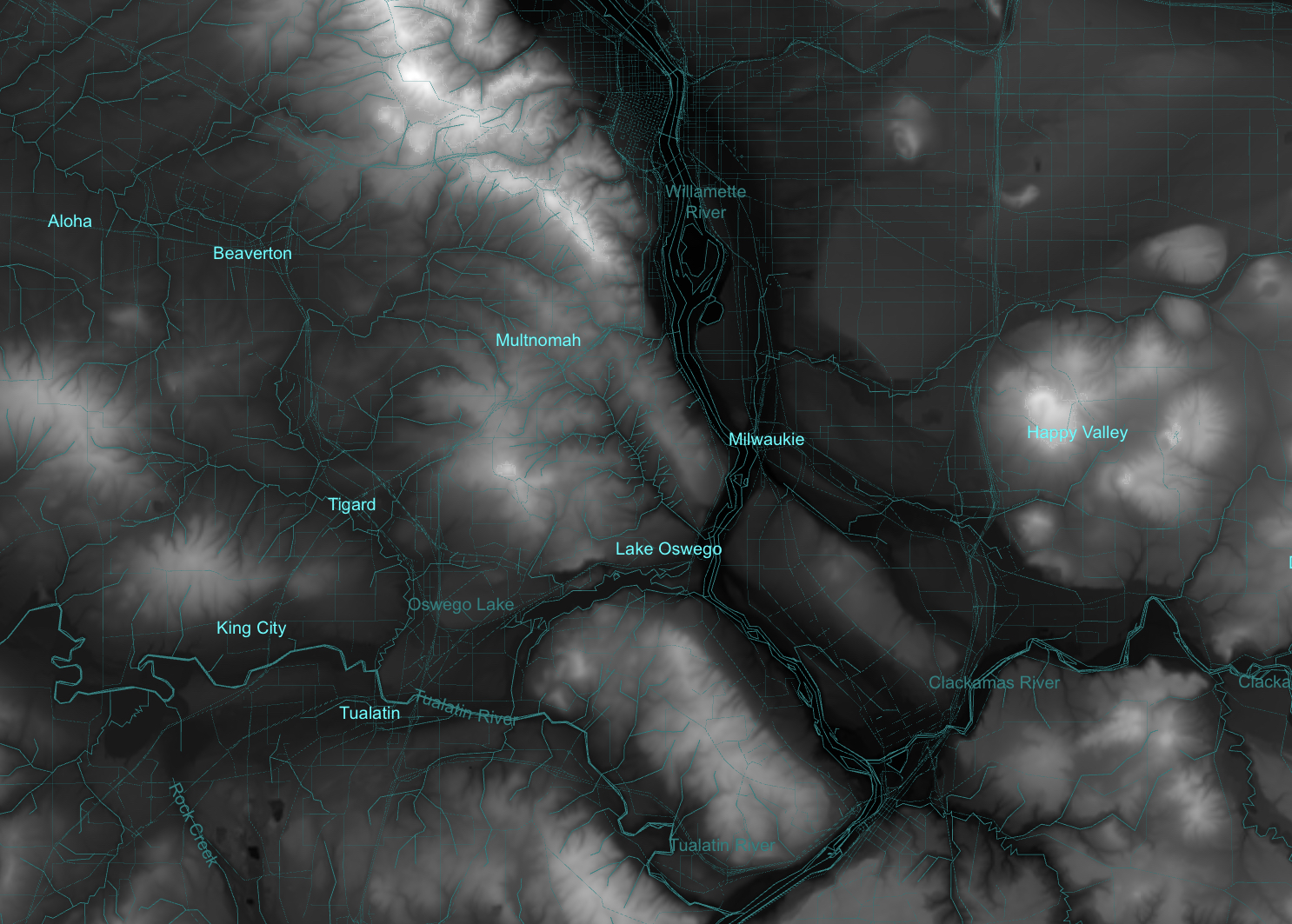
With increasing detail as you zoom in
People with CNC Routers can create topographic reliefs of this map. I will try to do the same with a laser.
Cheers & 
Sas