I’ve been doing a lot of work using QGIS to get map information to import into Lightburn for designing layered cuts.
More than happy to share techniques, data sources I’ve found, etc. with others. I found most of the guides I came across were challenging to follow or replicate. I’m sure I’m not the only person to encounter this. Below are a few of my ‘almost’ finished creations (and a couple in process).
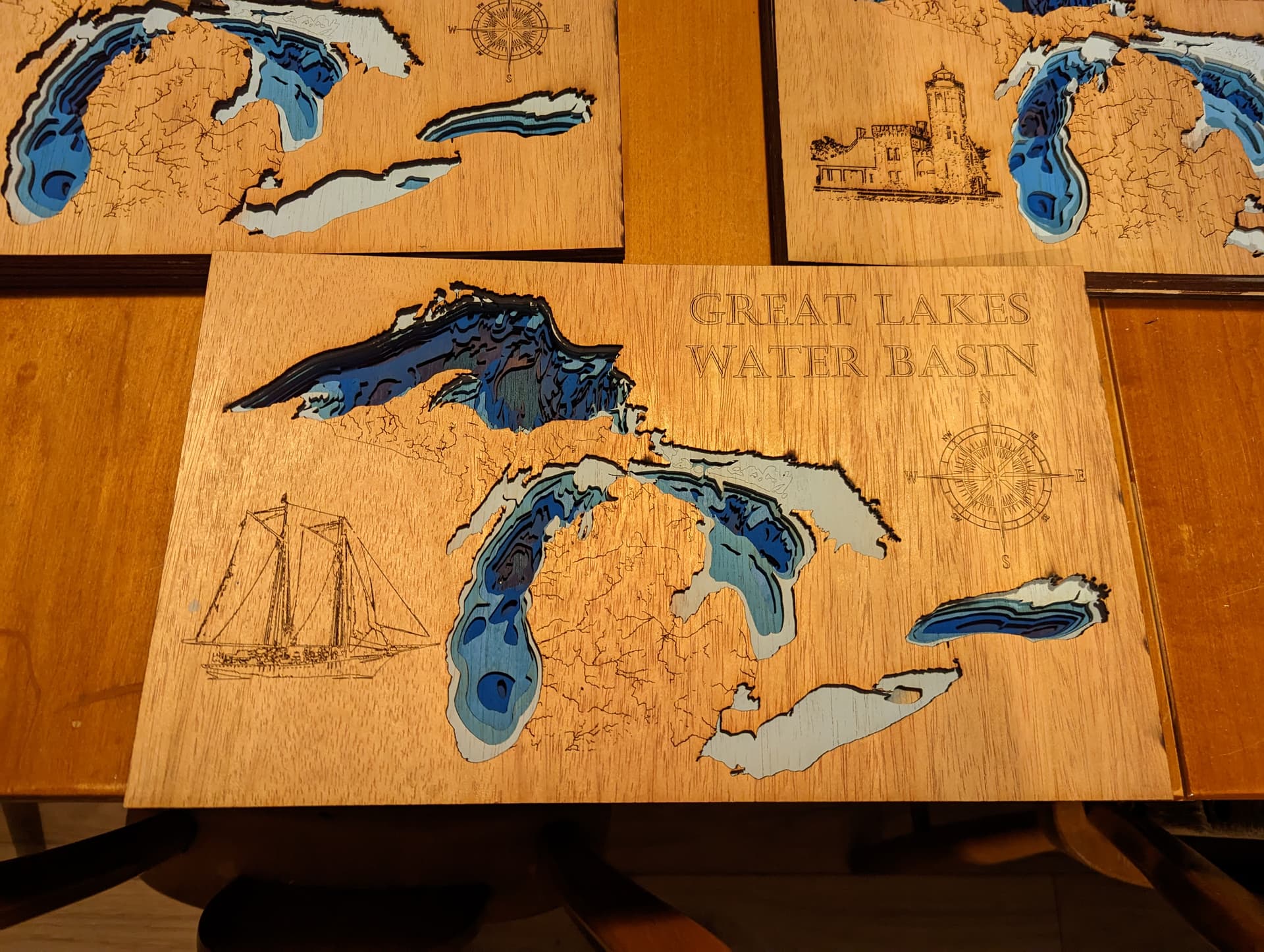
Made multiple versions of these, each with different engraving. Images I engrave are usually modified versions of photos I took. For example, the sailboat in this one was from a vacation photo I took in Florida.
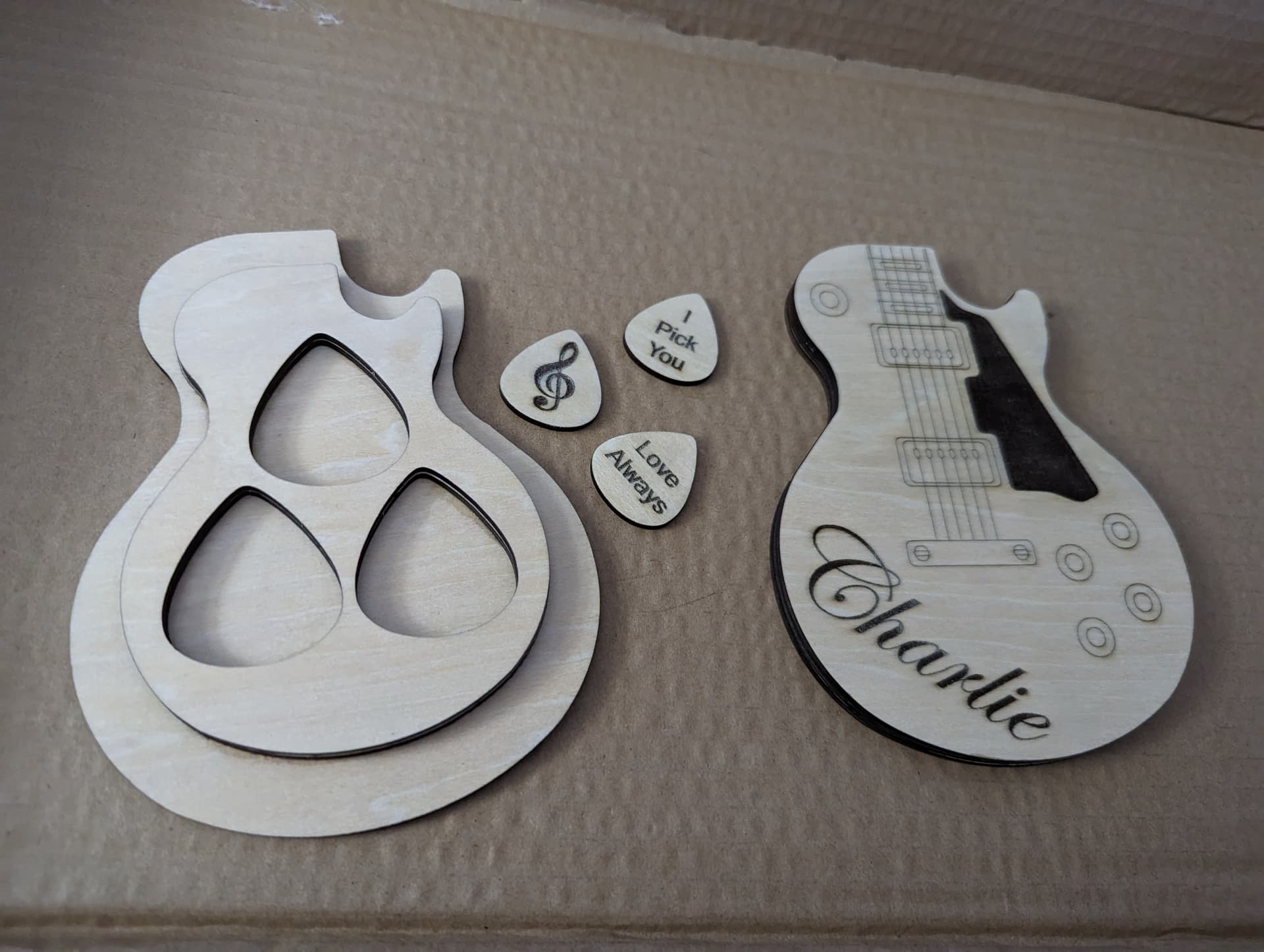
This was before finishing it, but made for a friend who saw a similar design online. I made it for her to give to her partner this next Valentine’s Day.
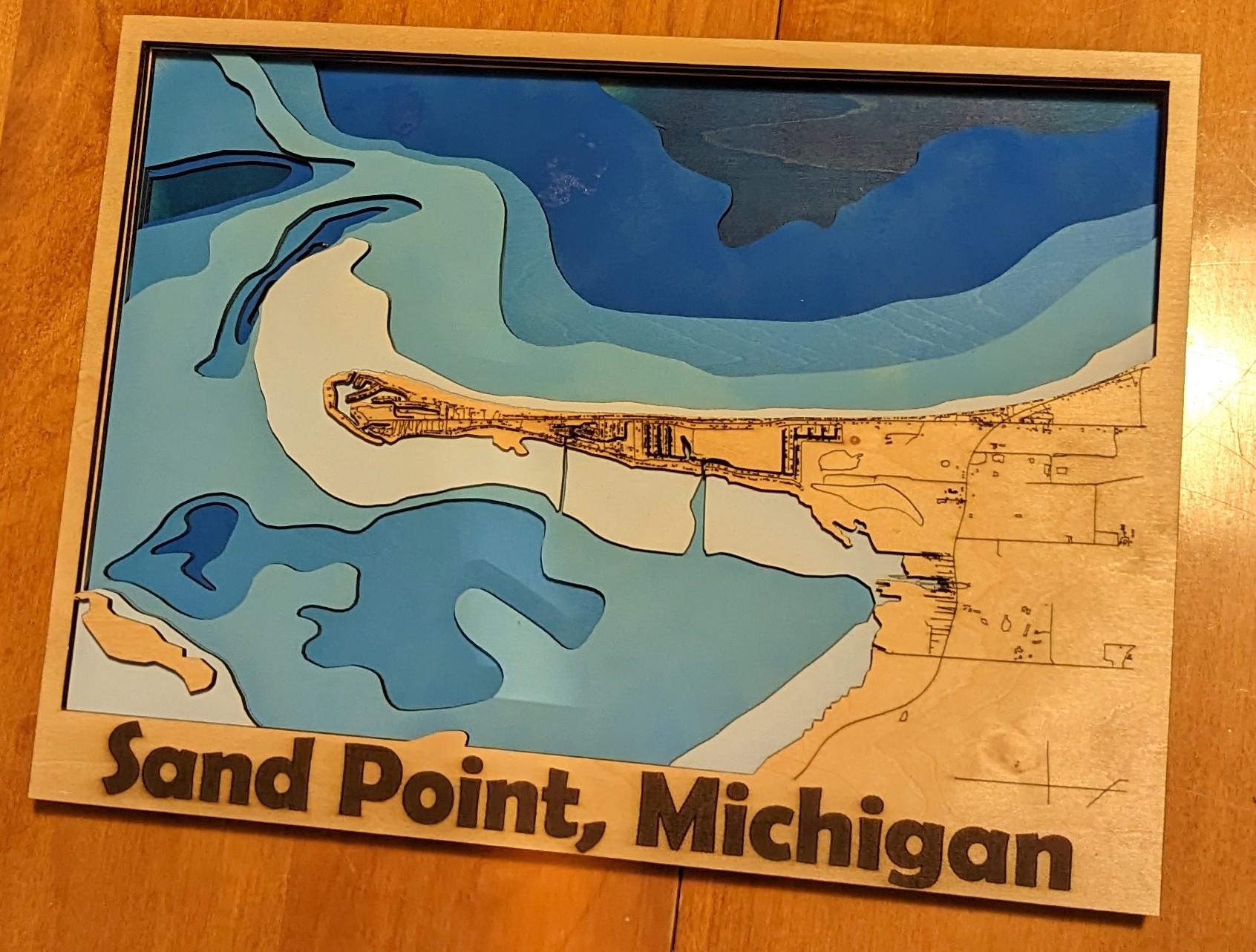
Map of where my lake house is. I also had a 2 layer version.
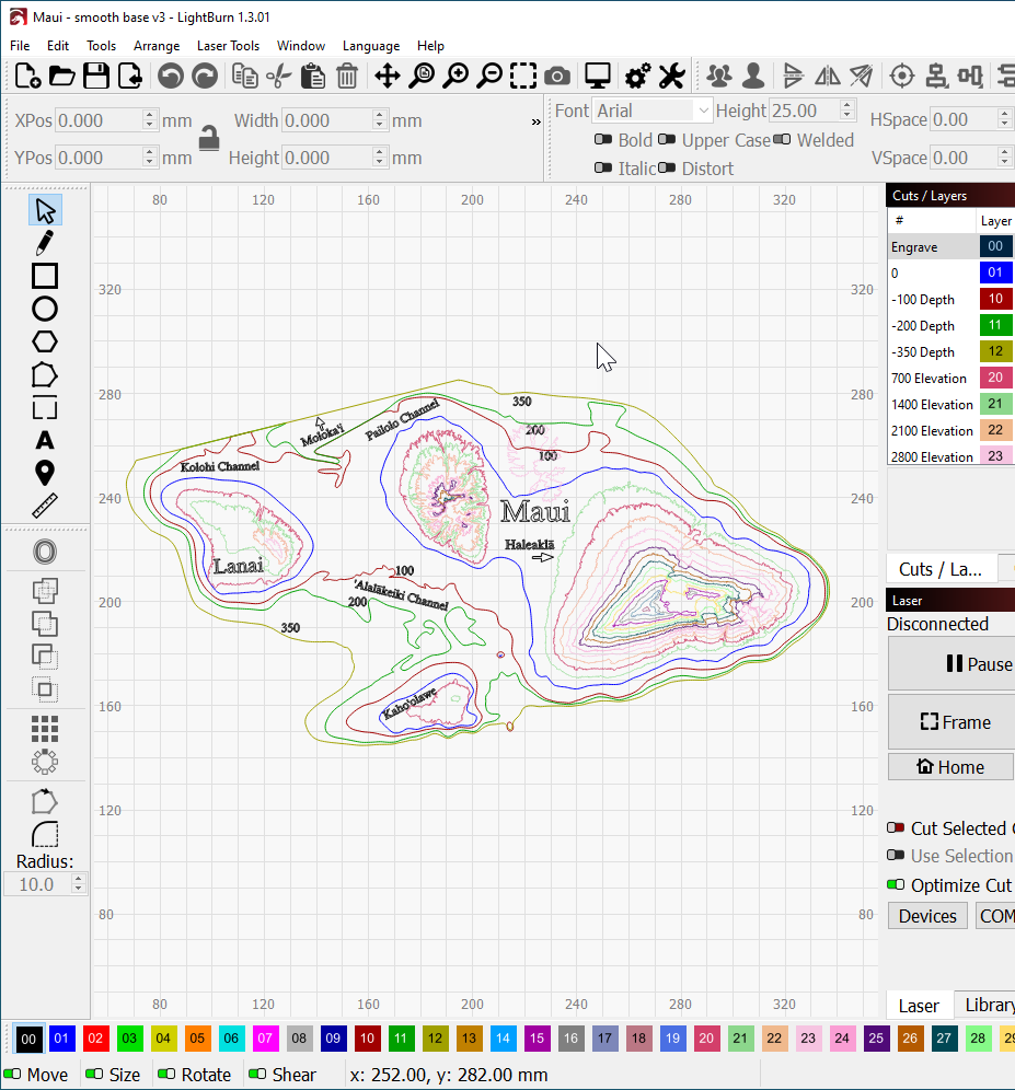
In process:
Maui - layers for elevation and water depth. 2 versions -
Hope you enjoyed these or got inspiration from them! You can follow my FB page at Dog Under Foot Designs - I try to post my finished projects there too. I tried to post more in this single post but I’m limited as a new forum user to 4 pictures.
– Teagan