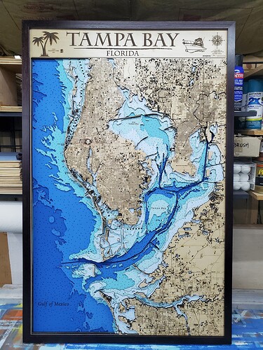
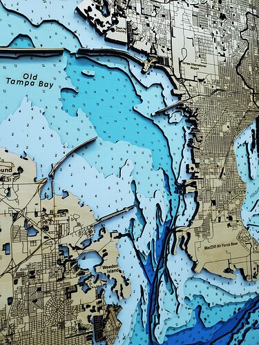
Adding to my catalog of maps is this super detailed Tampa Area map. It’s 28" x 43" and is about 1/4th the size of my museum version which is 6’ x 7’.
You don’t list your laser setup, what do you use? How long did this take? And more importantly, where did you get the map and how hard was it to create the layers etc?
Beautiful! I’d like to make something like this soon.
That is ‘amazing work’. 

I would like to ask the same as ‘Willy’ 
Hi Willy,
My laser is a custom build Boss 3655. 165 watt baby. Powerful, totally controlled air flow with a huge 80 gallon compressor, double chilled water system and 1500 cubic ft per min exhaust.
I’m a GIS Scientist/Cartographer. I make the maps. The same ones you all use for Google or any other mapping service. It’s difficult to explain my process without a basic understanding of the science and a complete understanding of vector math. This was a month long project. 8 hours on the laser total.
This is amazing, Great work.
I’m wondering by the way if you know for any Adriatic sea or EU depth sea chart maps working with GIS (QGIS).
When I work on a project I always go to the local scientists in the area to discover the data they have and the local governing bodies to find what’s available. It’s much easier in the U.S. because we have a great system for our coastlines.
Great work.
Looks awesome.
UUUuuuuuuuhhhh, a man can only take so much, we’re gonna need pics of this setup… for science!
The Pope or the Medici’s would have hired you to make one of these for the Vatican if they could’ve.

